
Select the service you need
Explore our range of services designed to help you in maritime emergencies
Service 1
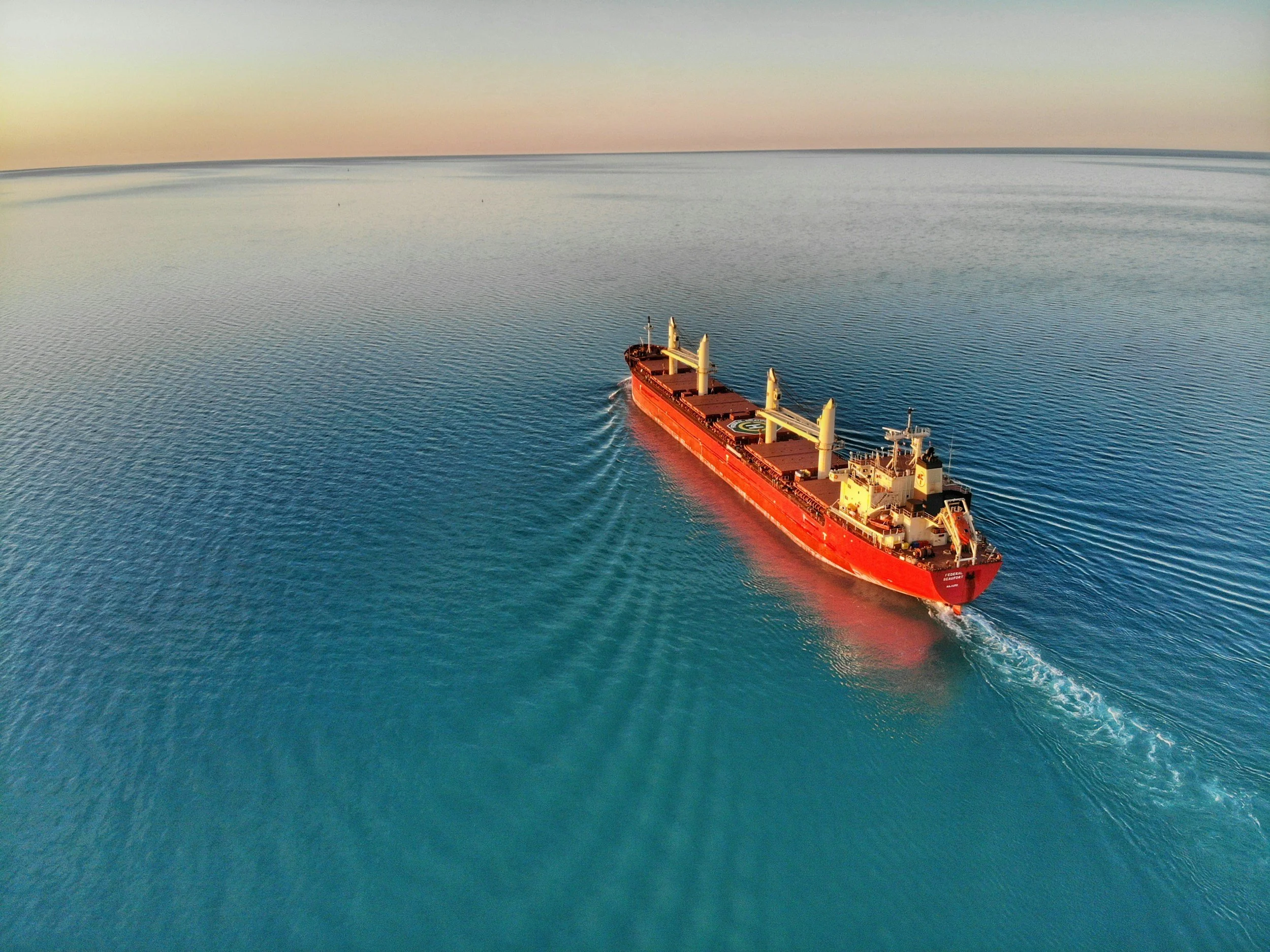
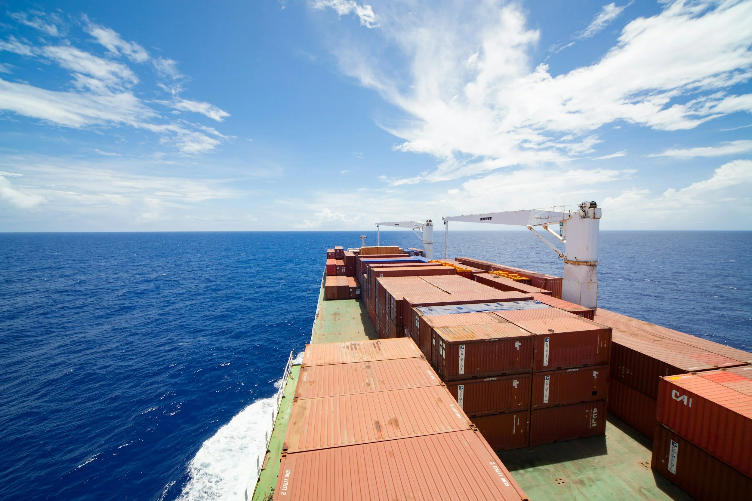
Search for a Vessel in Open Waters
Search for the vessel through capture and analysis of satellite images. Large maritime areas can be covered per image analyzed, both during the day and at night.
USD 4,750
Service 3
Follow up images
Delivery of daily very high- resolution satellite images, on demand.
Spatial resolution 1 m: USD 2,750 (per image)
Spatial resolution 30-50 cm: USD 4,750 (per image)
Service 5
Detection and Characterization of an Oil Spil
Location and characterization of the spill, including its position, area, thickness distribution, and estimated volume.
USD 4,900
Service 7
Prediction of the Dispersion of Drifting Containers
Prediction of the containers’ future position with hourly resolution and a forecast horizon of 24 h / 48 h / 72 h
USD 7,700
Service 2
Initial assessment of a Vessel’s Condition
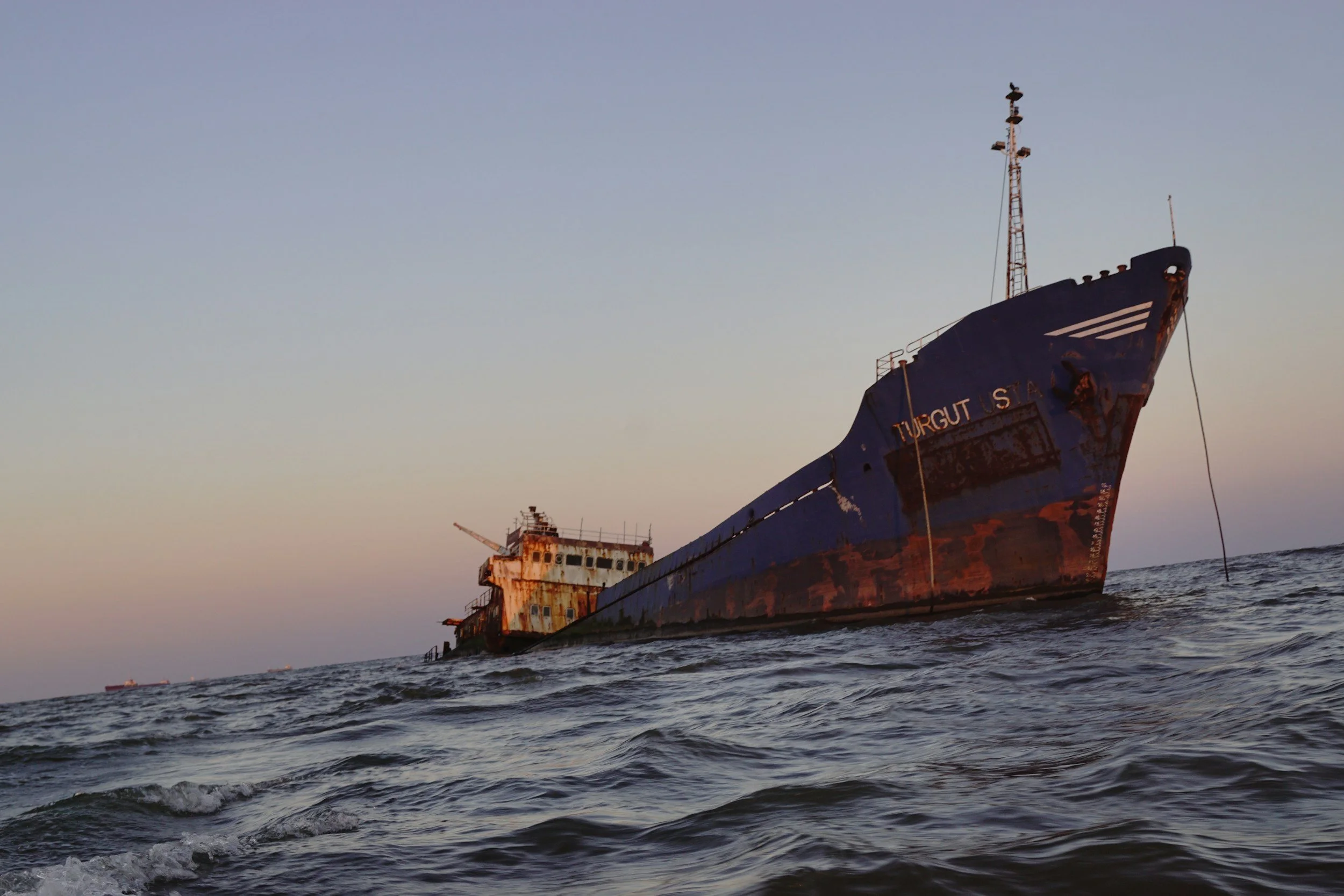
Delivery of 3 very high-resolution satellite images, as soon as possible, allowing a visual inspection of the vessel’s condition.
Spatial resolution 1 m: USD 2,750 (per image)
Spatial resolution 30-50 cm: USD 4,750 (per image)
Service 4
Drift analysis of the vessel
Prediction of the ships’ future position with hourly resolution and a forecast horizon of 24 h / 48 h / 72 h
USD 7,700
Service 6
Prediction of Oil Spill Drift
Prediction of the future position of the spill, including the most probable position as well as forecasting of natural degradation processes (how much oil remains on the surface) with hourly resolution and a forecast horizon of 24 h / 48 h / 72 h
USD 4,900
Service 8
Satellite images for non emergency cases
Delivery of very high-resolution satellite images, on demand, in non-emergency context
Spatial resolution 1 m: TBD (per image)
Spatial resolution 30-50 cm: TBD (per image)